A.T. - Pleasant Pond Shelter - Member Hike
| Hike Name: | A.T. - Pleasant Pond Shelter |
|---|---|
| Country: | United States |
| State: | Maine |
| Nearby Town: | Caratunk |
| Rating: |  |
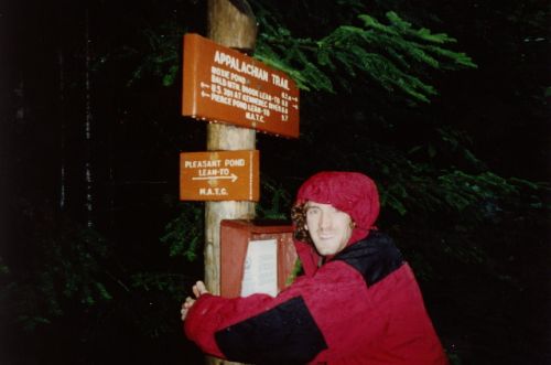
| Directions: | Pleasant Pond Lean-To: From the town of Caratunk (just off U.S. Route 201), follow Pleasant Pond Road which is across from the Post Office for 3.2 miles to the Pond and stay left at the fork. the paved road soon turns into a gravel logging road. Pass several access roads to the Pond. At a fork at 4.6 miles continue straight ahead to a hiker parking area near the north end of Pleasant Pond. Caratunk, ME: The small village is about 16 miles north of Bingham or 7.3 miles south of The Forks. |
| Total Hike Distance: | 5.20 miles |
| Hike Difficulty: | Moderate |
| Permit Required: | No |
| Hike Type: | One-Way, Shuttle Hike |
| Hike Starts: | Pleasant Pond Shelter |
| Hike Ends: | Kennebec River |
| Trails Used: | Appalachian Trail |
| Backcountry Campsites: | Yes |
| Backcountry Water Sources: | Streams, Lakes |
| Management: | U.S. Forest Service |
| Contact Information: | Maine Appalachian Trail Club P.O. Box 283 Augusta, ME 04332-0283 http://www.matc.org/ |
| Best Season: | Fall |
| Users: | Hikers, Dogs |
| Road Conditions: | Primary Paved Roads, Secondary Paved Roads, Maintained Gravel or Dirt Roads |
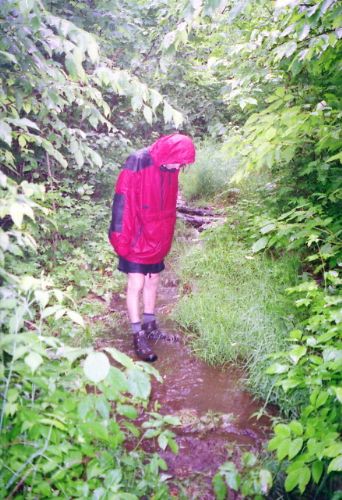
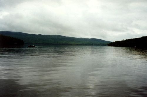
| Hike Summary: | We hiked this short section of trail on our 1996 cross-country trip. It is just north of the Kennebec River (and near the small town of Caratunk, Maine) and is a fairly easy day hike. We started at Pleasant Pond, visited the nearby Lean-To (or shelter as they say in the South), then followed the Trail back to Caratunk. The rains were heavy during our hike, and most of the Appalachian Trail was under water (but you are likely to have much better weather than we did). |


There are no comments yet.