| Trip Report: |
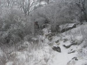
On the way out to the campsite, we had taken the AT. Obviously, this trail is very well marked and it is easy to follow the white blazed trail as it is well worn. Other trails are not as easy to follow though. Be sure you have some map and compass skills. The Rhododenron Gap Trail is easy to follow in the beginning (going southbound) because it is well worn. It is worn to the point that water flows through the trail whenever there is precipitation. There are few/no blazes, however, and after meeting with the AT, it is harder to follow the trail due to the fact that it is very rocky for this section. There is no worn spots over the rocks and there is even a few spur trails that lead nowhere. There are also multiple trails that use the same color blaze. Within Grayson Highlands State Park and Mount Rogers Recreational Area, there are at least four different trails that have blue square blazes. The first time there, I followed the wrong one and ended up on the Wilburn Ridge Trail and had gotten lost in the fog. Luckily, a boy scout troop came by and directed us to the parking lot. The weather changes at any moment here and the winds, because it is a bald, can be treacherous. It has been beautiful weather at the start of most of my hikes here and rained (actually, poured) or snowed later on during the trip. It also gets very cold on the balds. Be sure to dress accordingly. Thiis area is beautiful, but it can also be dangerous. Be sure to bring your camera and some backpacking/hiking skills while visiting this park. |


There are no comments yet.