Cartecay River - Member Hike
| Hike Name: | Cartecay River |
|---|---|
| Country: | United States |
| State: | Georgia |
| Nearby Town: | Ellijay |
| Rating: |  |
| Directions: | From Ellijay follow GA Highway 52 East for approximately 3.0 miles to Mulkey Road (County Road 225) on the right. Follow Mulkey Road approximately 0.4 miles and turn right onto paved road at Rich Mountain Cartecay Tract sign. At mile 0.15 in a sharp curve turn right at another Rich Mountain Cartecay Tract sign. Follow this dirt road for 0.15 miles to the parking area just before the gate. |
| Total Hike Distance: | 3.40 miles |
| Hike Difficulty: | Moderate |
| Permit Required: | No |
| Hike Type: | Roundtrip, Loop Hike |
| Hike Starts/Ends: | Cartecey River Parking Area |
| Trails Used: | Cartecey River Trail |
| Backcountry Campsites: | Yes |
| Backcountry Water Sources: | Streams, Rivers |
| Management: | U.S. Forest Service |
| Contact Information: | Chattahoochee-Oconee National Forests 1755 Cleveland Highway Gainesville, GA 30501 770 297-3000 |
| Best Season: | Winter, Spring, Summer, Fall |
| Users: | Hikers, Bikers, Dogs |
| Road Conditions: | Primary Paved Roads, Secondary Paved Roads, Maintained Gravel or Dirt Roads |
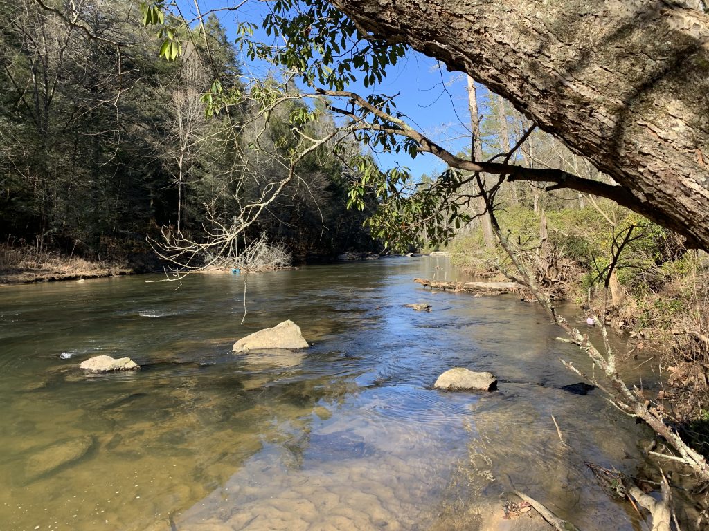
| Hike Summary: | This hike to the Cartecay River is located in the Aska Trails Area and follows a route in a small tract of the Rich Mountain Wilderness that is located south of Georgia 52 and just east of Ellijay. The area is popular with bikers, hikers, paddlers and hunters and the wilderness has a number of short loop hikes that are well marked and rated moderate for hiking or backpacking. This walk along the blue-blazed River Loop Mountain Bike Trail follows an old 4×4 road through a clearing then descends to the Cartecay River. The trail continues along the river for another mile then makes a gradual climb back to the parking area. There are some nice views from a meadow and from a rock outcropping on the Cartecay which make this a pleasant day or overnight hike. |


Recommended


Trip Reports
There are no Trip Reports yet.
There are no comments yet.