Panthertown Creek (Horse Site) - Member Hike
| Hike Name: | Panthertown Creek (Horse Site) |
|---|---|
| Country: | United States |
| State: | North Carolina |
| Nearby Town: | Cashiers |
| Rating: |  |
| Directions: | Take NC Hwy-281 North for 3.6 miles to Cold Mountain Road. Turn left onto Cold Mountain Road (just past Lake Toxaway Fire House). 5.6 miles from NC Hwy-281 you'll see private property and a gated drive on the right. To the left and uphill is the gravel access road to the valley, where you will see the sign for Panthertown Valley. After approx. 0.1/0.2 mile up the gravel road, turn right and onto the access road to the East Parking Area at Cold Mountain Gap. |
| Total Hike Distance: | 2.60 miles |
| Hike Difficulty: | Easy to Moderate |
| Permit Required: | No |
| Hike Type: | In & Out, Backtrack Hike |
| Hike Starts/Ends: | Cold Mountain Gap |
| Trails Used: | Panthertown Valley Trail |
| Backcountry Campsites: | Yes |
| Backcountry Water Sources: | Streams |
| Management: | U.S. Forest Service |
| Contact Information: | Nantahala National Forest Highlands Ranger District 2010 Flat Mountain Rd, Highlands, N.C. 28741 (828) 526-3765 |
| Best Season: | Winter, Spring, Summer, Fall |
| Users: | Hikers, Bikers, Dogs, Horses |
| Road Conditions: | Primary Paved Roads, Secondary Paved Roads, Maintained Gravel or Dirt Roads |
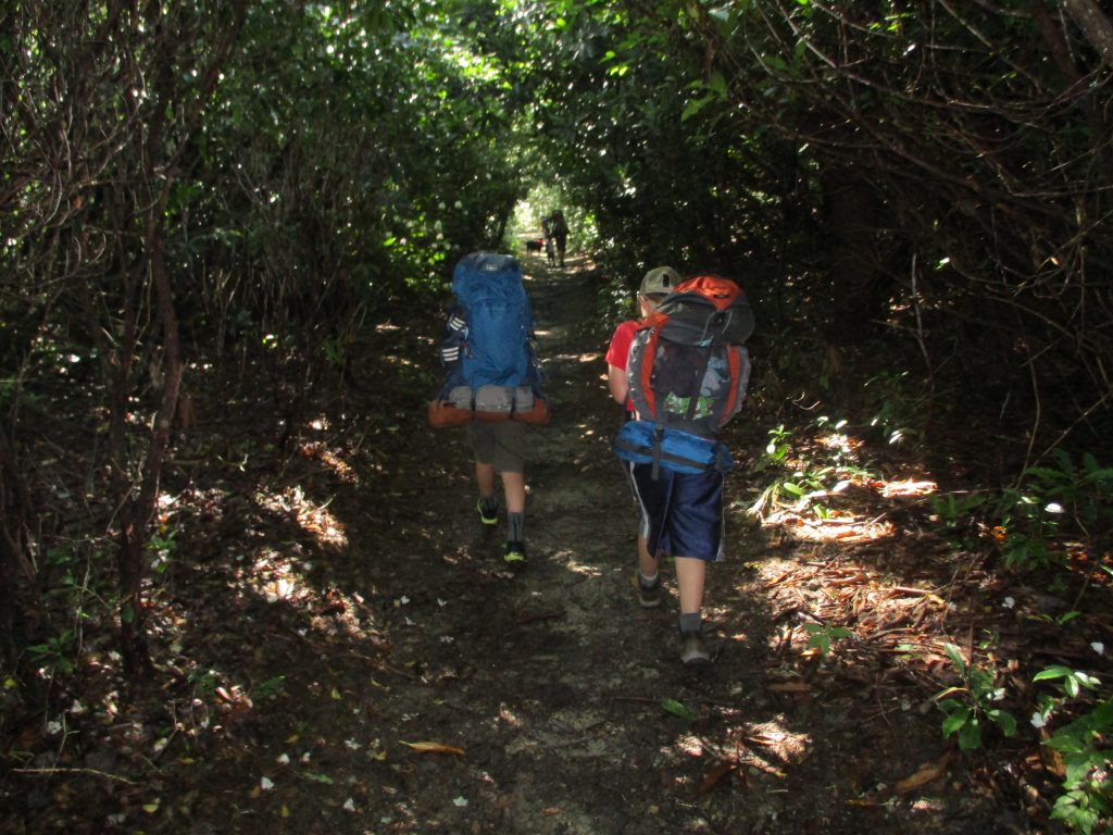
| Hike Summary: | This hike to Panthertown Creek begins at Cold Mountain Gap and desends along a combination of Forest Roads and hiking trails past Schoolhouse Falls and onto the main corridor trail for Panthertown Valley. Panthertown Creek runs between the two main trailheads at Salt Rock and Cold Mountain Gap. There are a number of campsites along the creek as you walk through the valley. |


Recommended

 Trail Map For This Area
Trip Reports
There are no Trip Reports yet.
There are no comments yet.