Doughton Park- Bluff Mountain/Bluff Ridge Trail - Member Hike
| Hike Name: | Doughton Park- Bluff Mountain/Bluff Ridge Trail |
|---|---|
| Country: | United States |
| State: | North Carolina |
| Nearby Town: | Sparta |
| Rating: |  |
| Directions: | Take I-77 N/?US-21 Bypass N toward Mt Airy Take exit 83 on the left to merge onto US-21 Bypass N toward Roaring Gap/?Sparta Continue onto US-21 N/?US-21 BUS Turn left onto Traphill Rd Turn right onto Longbottom Rd |
| Total Hike Distance: | 14.00 miles |
| Hike Difficulty: | Very Difficult |
| Permit Required: | No |
| Hike Type: | Roundtrip, Loop Hike |
| Hike Starts/Ends: | Traphill Road |
| Trails Used: | Flat Rock Ridge Trail, Bluff Mountain Trail, Bluff Ridge Trail |
| Backcountry Campsites: | Yes |
| Backcountry Water Sources: | Streams |
| Management: | National Park Service |
| Contact Information: | The Blue Ridge Parkway 199 Hemphill Knob Road Asheville, NC 28803 828-271-4779 www.nps.gov/blri |
| Best Season: | Winter, Spring, Summer, Fall |
| Users: | Hikers |
| Road Conditions: | Primary Paved Roads |
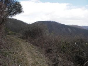
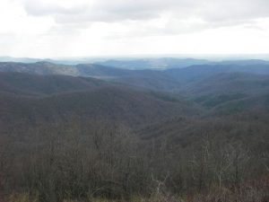
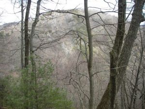
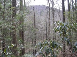
| Hike Summary: | Leaving the parking area, cross the street to the trailhead. Flat Rock Ridge Trail starts on the other side of the road. It wastes no time climbing up the spine of Bell Ridge. Although it climbs up for 5 miles, the switchbacks make it so it is not very steep for most of the climb. For much of the trip, you walk on the edge of the ridge with a steep ledge to your right. Since it was winter when I did this trip, I was able to see the Blue Ridge mountains that surrounded me. There were a few areas that would be unobstructed, even in the summer. When you get to the end of this trail, you can take a 300 foot (600 round trip) side-trip to an overlook on the Blue Ridge Parkway. There is a somewhat obstructed view of the mountains from this overlook. There are better views further up on the Bluff Mountain Trail. This trail follows the Blue Ridge Parkway for 7.5 miles but there are beautiful views of the mountains as you hike for the next ~3.5 miles. After passing the Grassy Gap Road (a grass-laden fire road that also brings you back to Longbottom Road), it gets a little tricky. The trail is not as obvious and the signs can be confusing. Continue on the trail and pass the Alligator Back Overlook. Climb up the trail to the peak of Bluff Mountain. Here you have a panaramic view of where you just hiked from. There is a field with views of more mountains past some trees. The trail is unmarked, but walk to the right and pass a graffiti covered shelter. This is the Bluff Ridge Trail. Follow it down steeply for 2.8 miles. The trail ends at the Grassy Gap Trail. Where one trail ends and the other continues, there is a small grave site where Alice Caudill was laid to rest. Go to the left and follow it for 1.6 miles to Longbottom Road. While walking this easy stretch of the trail, notice to the right the mountain's ridge. Look at what you had climbed up and along earlier that day and bask in the joy of a long, beautiful hike that you just finished. |
Recommended
Trip Reports
There are no Trip Reports yet.

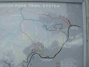


 Trail Map For This Area
There are no comments yet.