Coon Branch Nature Trail - Member Hike
| Hike Name: | Coon Branch Nature Trail |
|---|---|
| Country: | United States |
| State: | South Carolina |
| Nearby Town: | Walhalla |
| Rating: |  |
| Directions: | From Walhalla, drive north on SC 11 and turn left on to SC 130. Drive 10 miles to the entrance of the Duke Power Bad Creek Hydroelectric Station on the right just before the North Carolina State line. Pull up to the gate slowly and it will open. Proceed through the gate, and then follow the signs for two miles to the parking area for the Whitewater Falls and Foothills Trails. The trailhead for Coon Branch is on the left, just before a bridge, about 0.5 mile from the parking area on the Bad Creek Spur Trail. |
| Total Hike Distance: | 2.00 miles |
| Hike Difficulty: | Easy |
| Permit Required: | No |
| Hike Type: | In & Out, Backtrack Hike |
| Hike Starts/Ends: | Parking area |
| Trails Used: | Bad Creek Spur, Coon Branch |
| Backcountry Campsites: | No |
| Backcountry Water Sources: | Rivers |
| Management: | Private Property |
| Contact Information: | Duke Energy, P.O. Box 1006, Charlotte, NC, 28201, Telephone: 800-443-5193 |
| Best Season: | Winter, Spring, Summer, Fall |
| Users: | Hikers |
| Road Conditions: | Secondary Paved Roads |
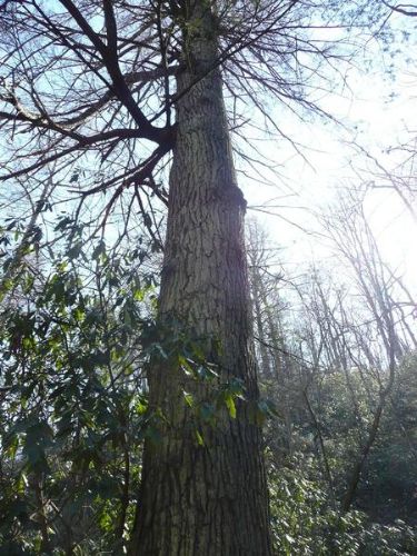
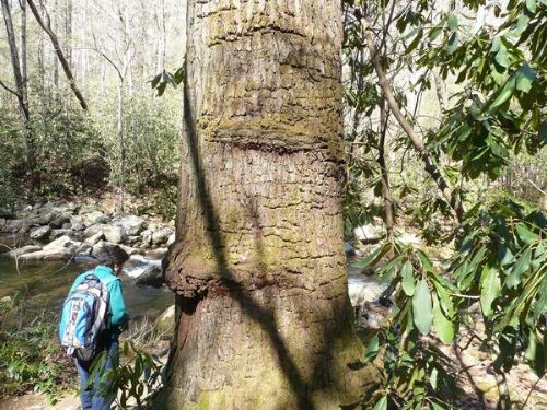
| Hike Summary: | This is a great family hike. You hike on the Bad Creek Spur 1/2 mile. You will then come to the river and there is a metal bridge crossing the river. Do not cross the river. The Coon Branch Trail follows the river upstream. It is relatively flat with a large diversity of plant life. The river is never more than a few yards away from the trail. At the end of the trail there is the largest Fraser Magnolia in the state; six feet around and 86 feet tall. |


 Trail Map For This Area
There are no comments yet.