Parsons Mountain Lake Trail - Member Hike
| Hike Name: | Parsons Mountain Lake Trail |
|---|---|
| Country: | United States |
| State: | South Carolina |
| Nearby Town: | Abbeville |
| Rating: |  |
| Directions: | From Abbeville, drive southwest on SC 72 for approximately two miles, then turn left (south) onto SC 28. Drive for approximately two miles and turn left onto Abbeville County S-1-251. The entrance to Parson’s Mountain Recreation Area is 1.5 miles ahead on the right. Enter the recreation area and continue to the trailhead at the boat ramp parking area. |
| Total Hike Distance: | 4.00 miles |
| Hike Difficulty: | Easy to Moderate |
| Permit Required: | No |
| Hike Type: | Roundtrip, Loop Hike |
| Hike Starts/Ends: | At Picnic Area |
| Trails Used: | Parsons Mountain Lake Trail |
| Backcountry Campsites: | No |
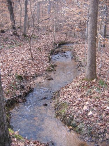
| Backcountry Water Sources: | Streams |
| Management: | U.S. Forest Service |
| Contact Information: | Sumter National Forest, Long Cane Ranger District, 810 Buncombe St., Edgefield, SC 29824, Telephone: 803-637-5396. |
| Best Season: | Winter, Spring, Summer, Fall |
| Users: | Hikers |
| Road Conditions: | Maintained Gravel or Dirt Roads |
| Hike Summary: | Parson’s Mountain has a 800-foot summit and a moderately difficult four-mile loop trail. Flora includes sparkleberry, redbud, wild ginger, and dogwood. You will climb past Civil War-era gold mines to the summit of Parson’s Mountain and the fire tower. |


 Trail Map For This Area
There are no comments yet.