Rock Gap - Member Hike
| Hike Name: | Rock Gap |
|---|---|
| Country: | United States |
| State: | North Carolina |
| Nearby Town: | Franklin, NC |
| Rating: |  |
| Directions: | From Intersection of US 441 and US 64 Merge onto Murphy Rd/US-64 W, Go 11.9 mi Turn left at Allison Creek Rd/W Old Murphy Rd, Go 1.9 mi Turn right at National Forest Rd (Sign for Standing Indian Campground at Wallace Gap) and drive less than a mile to the trailhead on the left. |
| Total Hike Distance: | 0.60 miles |
| Hike Difficulty: | Easy |
| Permit Required: | No |
| Hike Type: | In & Out, Backtrack Hike |
| Hike Starts/Ends: | Rock Gap |
| Trails Used: | Appalachian Trail |
| Backcountry Campsites: | Yes |
| Backcountry Water Sources: | Springs |
| Management: | U.S. Forest Service |
| Contact Information: | Nantahala National Forest Wayah Ranger District 90 Sloan Road Franklin, N.C. 28734 (828) 524-6441 |
| Best Season: | Winter, Spring, Summer, Fall |
| Users: | Hikers, Dogs |
| Road Conditions: | Primary Paved Roads, Secondary Paved Roads |
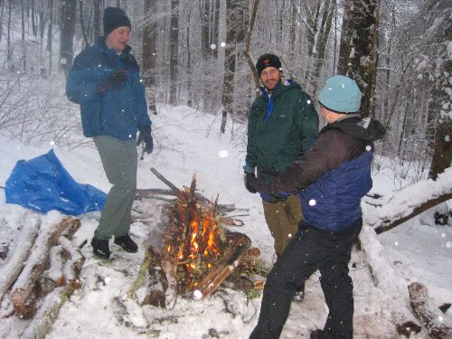
| Hike Summary: | This is a short hike on the Appalachian Trail near Wallace Gap and old US 64. The trailhead is only a short distance from Rock Gap which is located just down the road from Wallace Gap and on the way to the Standing Indian Campground. After a brief hike, double blue blazes mark Rock Gap Shelter which is a small structure that sleeps 8 hikers with a recently remodeled patio complete with picnic table and fire pit. A privy and a spring are located within a short distance of the shelter. |


Recommended

 Trail Map For This Area
Trip Reports
There are no Trip Reports yet.
There are no comments yet.