Kings Creek Trail - Member Hike
| Hike Name: | Kings Creek Trail |
|---|---|
| Country: | United States |
| State: | South Carolina |
| Nearby Town: | Walhalla |
| Rating: |  |
| Directions: | From Walhalla travel north 9.5 miles on SC 28. then take SC 107 northeast for 10.3 miles. Burrell's Ford camp ground is on Forest Road 708 on the left. This road isn't well marked, so be on the look out. |
| Total Hike Distance: | 0.50 miles |
| Hike Difficulty: | Easy |
| Permit Required: | No |
| Hike Type: | In & Out, Backtrack Hike |
| Hike Starts/Ends: | On the left of campground |
| Trails Used: | Kings Creek trail |
| Backcountry Campsites: | No |
| Backcountry Water Sources: | Streams |
| Management: | State Park Service |
| Contact Information: | Unknown |
| Best Season: | Winter, Spring, Summer, Fall |
| Users: | Hikers, Dogs |
| Road Conditions: | Primary Paved Roads, Maintained Gravel or Dirt Roads |
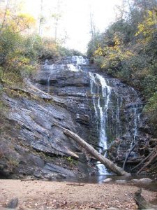
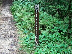
| Hike Summary: | The trailhead is located on the left just as you reach the Burrell's Ford Campground. When you see the toilet facilities on the right, begin to look to the left side of the Jeep Road for a small marker. The trail is super easy and the falls sneaks up on you quickly. This is the same falls on the cover of "50 Hikes in South Carolina" On the return you can go left to connect to the Foothills/Chatooga River Trail, or stay right to go back to the campground. |


 Trail Map For This Area

One reply on “Kings Creek Trail - Member Hike”
Very easy trail, except the last 100 feet requires steady hands and firm footing as you descend along the damp rocks near the falls.
Great falls for kids to get right up next too. The wading pool is only about 18 inches deep.