Hobbs State Park-Conservation Area (HSPCA) - Beaver Lake - Member Hike
| Hike Name: | Hobbs State Park-Conservation Area (HSPCA) - Beaver Lake |
|---|---|
| Country: | United States |
| State: | Arkansas |
| Nearby Town: | Rogers |
| Rating: |  |
| Directions: | Hobbs State Park-Conservation Area is located 10 miles east of Rogers on Ark. 12. GPS: 36° 17’ 10.1” N / 93° 54’ 18.4” W |
| Total Hike Distance: | 1.00 miles |
| Hike Difficulty: | Easy to Moderate |
| Permit Required: | No |
| Hike Type: | In & Out, Backtrack Hike |
| Hike Starts/Ends: | Boat Docks |
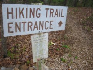
| Trails Used: | Lost Bridge Hiking Trail |
| Backcountry Campsites: | No |
| Backcountry Water Sources: | Lakes |
| Management: | State Park Service |
| Contact Information: | Hobbs State Park-Conservation Area (HSPCA) 21392 East Highway 12 Rogers, AR 72756 (479) 789-2380 Camping areas on Beaver Lake are managed by the U.S. Army Corps of Engineers. To reserve a campsite, call (877) 444-6777 or visit |
| Best Season: | Spring, Summer, Fall |
| Users: | Hikers, Dogs |
| Road Conditions: | Primary Paved Roads, Secondary Paved Roads |
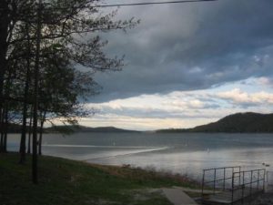
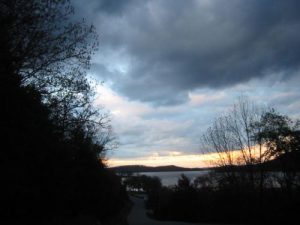
| Hike Summary: | The Lost Bridge Hiking Trail is located at Beaver Lake State Park within the Hobbs State Park-Conservation Area (HSPCA). The trail starts just before you reach the boat docks at Beaver Lake. (The parking area for the trailhead is located on the right with steps ascending/desceding in each direction.) The Lost Bridge Hiking Trail wanders along the shores of Beaver Lake with excellent views across the water and to the Ozark mountains in the distance and eventually climbs up toward the entrance gate that grants access to the boat docks at Beaver Lake. |




3 replies on “Hobbs State Park-Conservation Area (HSPCA) - Beaver Lake - Member Hike”
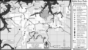
I incorrectly stated that Lost Bridge Trail is at Hobbs State Park. It is not. Checkout http://www.FriendsofHobbs.com for trail descriptions and maps.
Lost Bridge Hiking Trail is administered by the U.S. Army Corps of Engineers, and is in no way connected to Hobbs State Park – Conservation Area, which is administered by Arkansas State Parks.
Nice pics, looks like a great hike.