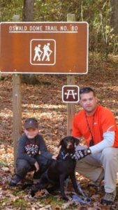
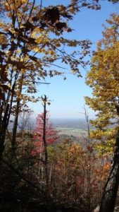
Oswald Dome Trail - Member Hike
| Hike Name: | Oswald Dome Trail |
|---|---|
| Country: | United States |
| State: | Tennessee |
| Nearby Town: | Benton |
| Rating: |  |
| Directions: | Directions: Travel south on Highway 411 to the junction of Highway 30 east. Turn left and travel 1.6 miles to the Quinn Springs Recreation Area. Parking is available at the pavilion. |
| Total Hike Distance: | 3.86 miles |
| Hike Difficulty: | Difficult |
| Permit Required: | No |
| Hike Type: | In & Out, Backtrack Hike |
| Hike Starts/Ends: | Quinn Springs Pavilion |
| Trails Used: | Oswald Dome Trail |
| Backcountry Campsites: | No |
| Backcountry Water Sources: | Streams, Springs |
| Management: | National Park Service |
| Contact Information: | Ocoee Ranger District Route 1, Box 348 D Benton, TN 37307 (423) 338-5201 Hiwassee Ranger District Drawer D Etowah, TN 37331 (423) 263-5486 Tellico Ranger District 250 Ranger Station Road Tellico Plains, TN 37385-9371 (423) 253-2520 Chilhowee Rec. Area (USFS) Route 1, Box 348 D (Hwy 64) Benton, TN 37307 (423) 338-5201 |
| Best Season: | Winter, Spring, Summer, Fall |
| Users: | Hikers |
| Road Conditions: | |
| Hike Summary: | This trail covers 3.86 miles and is rated moderate with some difficult sections. Starting at the Quinn Springs Pavilion, this trail takes hikers to the top of Oswald Dome where it leads to Bean Mountain and accesses FDR #77 to the Chilhowee Recreation Area. Along the trail, enjoy viewing wildlife at two wildlife openings and abundant wildflowers in the spring. Parking is available at the Quinn Springs Recreation Area. Travel time is 41/2 hours uphilll. |


One reply on “Oswald Dome Trail - Member Hike”
Great hike