Cape Chignecto Provincial Park - Member Hike
| Hike Name: | Cape Chignecto Provincial Park |
|---|---|
| Country: | Canada |
| Province: | Nova Scotia |
| Nearby Town: | Amherst |
| Rating: |  |
| Directions: | Located on the Bay of Fundy about an hour southwest of Amherst, Nova Scotia. See www.capechignecto.net |
| Total Hike Distance: | 41.00 miles |
| Hike Difficulty: | Difficult |
| Permit Required: | Yes |
| Hike Type: | Roundtrip, Loop Hike |
| Hike Starts/Ends: | The Ranger Station at Red Rocks |
| Trails Used: | Arrived early and hiked to Refugee Cove, day two, hiked to Seal Cove (about 7 hours), day three, hiked back to the ranger station at Red Rocks. |
| Backcountry Campsites: | Yes |
| Backcountry Water Sources: | Streams, Rivers, Springs |
| Management: | National Park Service |
| Contact Information: | www.capechignecto.net |
| Best Season: | Spring, Summer, Fall |
| Users: | Hikers, Dogs |
| Road Conditions: | Secondary Paved Roads, Maintained Gravel or Dirt Roads |
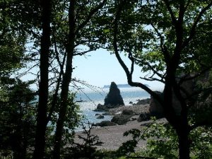
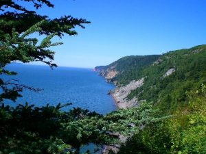
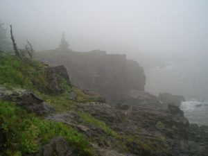
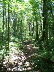
| Hike Summary: | This is a great hike, both challenging and beautiful. It traverses some of the most incredible coastline I have ever seen. Lots of steep grade hiking, some fairly technical. Abundant water sources, several water crossings (exciting in heavy rains), excellent back country camp sites and a huge variety of flora and fauna. The trails are well marked and well maintained. This area has the highest tides in the world and they change the entire coastal landscape right before your eyes. Many nice natural rock formations including the "Three Sisters", a well known set of "stacks" of significant size that you can walk up to at low tide, or kayak up to at high tide. The set up of the back country camp sites allow for hikes of virtually any length, check out their website for more information, this is a trip I will be doing again in a year or so. |


There are no comments yet.