Haleakala National Park - Kuloa Point Trail - Member Hike
| Hike Name: | Haleakala National Park - Kuloa Point Trail |
|---|---|
| Country: | United States |
| State: | Hawaii |
| Nearby Town: | Hana |
| Rating: |  |
| Directions: | The Kipahulu area of the Park is at the east end of Maui between Hana and Kaupo. It can be reached via Highway 36, a curvy, often wet road. Kipahulu is about 90 miles from the resort areas of Wailea or Kaanapali, and 60 miles from central Maui. Driving time is about 3-4 hours each way. An extension of this road, Highway 31, goes around the dry side of the island, past Kaupo and on to Ulupalakua. It is only partially paved and can be hazardous or closed during periods of stormy weather. |
| Total Hike Distance: | 1.00 miles |
| Hike Difficulty: | Easy to Moderate |
| Permit Required: | No |
| Hike Type: | Roundtrip, Loop Hike |
| Hike Starts/Ends: | Kipahulu Visitor's Center |
| Trails Used: | Kuloa Point Trail |
| Backcountry Campsites: | Yes |
| Backcountry Water Sources: | Streams |
| Management: | National Park Service |
| Contact Information: | Haleakala National Park P.O. Box 369 Makawao, Maui, HI 96768 Visitor Information 808.572.4400 Headquarters 808.572.4400 |
| Best Season: | Winter, Spring, Summer, Fall |
| Users: | Hikers |
| Road Conditions: | Primary Paved Roads, Secondary Paved Roads, Maintained Gravel or Dirt Roads |
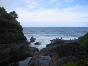
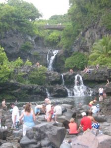
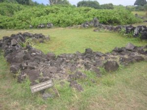
| Hike Summary: | A .5 mile (.8km) easy loop trail leads from the Kipahulu Visitor Center down to the ocean at Kuloa Point past historic walls and pre-contact Hawaiian habitation sites. The trail passes a grove of hala trees on the way to beautiful views of the ocean and several large pools. Swimming is at your own risk. There are no lifeguards on duty. Serious injuries and deaths have occurred due to people jumping into the water from the cliffs above. The ocean currents at Kuloa Point are very strong and sharks and high surf are constant dangers. Do not go into the ocean here. |


There are no comments yet.