Issaqueena Forest Trails - Member Hike
| Hike Name: | Issaqueena Forest Trails |
|---|---|
| Country: | United States |
| State: | South Carolina |
| Nearby Town: | Clemson |
| Rating: |  |
| Directions: | From Clemson take SC 133 north for about 4 miles. Left at the traffic light, at Maw's Grocery on left, turn left onto Old Six Mile Highway. Pass Issaqueena Lake Road (Forest entrance) on right and continue about a half mile to parking area on right, at junction with Issaqueena Dam Road. |
| Total Hike Distance: | 7.50 miles |
| Hike Difficulty: | Easy to Moderate |
| Permit Required: | No |
| Hike Type: | Roundtrip, Loop Hike |
| Hike Starts/Ends: | Parking area at Issaqueena Dam Rd. |
| Trails Used: | Collarbone, Lawrence, Issaqueena Lake trails and Issaqueena Dam Rd. |
| Backcountry Campsites: | No |
| Backcountry Water Sources: | Streams, Lakes |
| Management: | Other |
| Contact Information: | Department of Forestry and Natural Resources 261 Lehotsky Hall Clemson, SC 29634-0317 (864) 656-3302 Greater Clemson Mountain Bike Club (GCMBC) Website - http://www.gcmbc.com/main.html |
| Best Season: | Winter, Spring, Summer, Fall |
| Users: | Hikers, Bikers, Dogs, Horses |
| Road Conditions: | Primary Paved Roads, Secondary Paved Roads, Maintained Gravel or Dirt Roads |
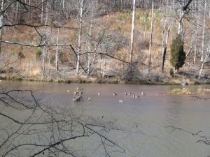
| Hike Summary: | This area abounds with trails. The best trail maps of the area are on the GCMBC website. The hike described here utilizes several of the trails. Very few are marked in any way, thus a map is allmost essential. The parking area has a small lot for cars and a larger semi-circular area for horse trailers. Exit the car lot to the right and turn right into the horse trailer area. Take an immediate left onto a side trail that leads away from the parking area. Follow for maybe 150 feet to a junction. Turn right at the juction onto the unmarked Collarbone trail. Follow a fairly level and relatively straight trail until it starts downhill through severl switchbacks to another junction. Turn left here (weathered sign for 'Lawrence Trail') onto the Lawrence trail. Follow the Lawrence trail until it decends through new pine growth to another junction. Sign here indicates that straight through the junction takes you to Issaqueena Dam. This is the start of the Issaqueena lake trail. Follow it around the shore of the lake to the dam, then turn left onto Issaqueena Dam Rd. Follow the road back to the parking area. This area is extremely popular with bikers and horseback riders. Hikers must be vigilant to avoid being run over. Most riders of both types are courteous enough, but may not see you in time to avoid you. You can usually hear them coming, so your best defense is alertness. There are many other trails here that can make up either shorter or longer hikes (or rides). It really is hard to get too lost here, so don't be afraid to take a new trail. But best if you print off some of the maps from the GCMBC website. |
Recommended
Trip Reports
There are no Trip Reports yet.


 Trail Map For This Area
There are no comments yet.