Vogel State Park - Coosa Bald - Member Hike
| Hike Name: | Vogel State Park - Coosa Bald |
|---|---|
| Country: | United States |
| State: | Georgia |
| Nearby Town: | Dahlonega |
| Rating: |  |
| Directions: | (Vogel State Park): From Dahlonega (and the KFC at the junction of 19 N / 60 N / 9N), follow 19 N / 60 N / 9N for 8.1 miles where 60 North breaks off from 19N/9N. Continue on 19 N / 9 N for 5.2 miles. Here 129 N / 11 N / 19 N run merge and run together for 10.5 miles to Vogel State park which is on the left. Vogel State Park is 11 miles south of Blairsville on U.S. Highway 19/129. |
| Total Hike Distance: | 12.80 miles |
| Hike Difficulty: | Very Difficult |
| Permit Required: | Yes |
| Hike Type: | One-Way, Shuttle Hike |
| Hike Starts: | Vogel State Park |
| Hike Ends: | Vogel State Park |
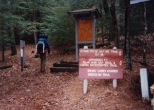
| Trails Used: | Coosa Backcountry Trail |
| Backcountry Campsites: | Yes |
| Backcountry Water Sources: | Streams |
| Management: | State Park Service |
| Contact Information: | Vogel State Park 7485 Vogel State Park Road Blairsville, GA 30512 (706) 745-2628 |
| Best Season: | Winter, Spring, Fall |
| Users: | Hikers, Dogs |
| Road Conditions: | Primary Paved Roads, Secondary Paved Roads |
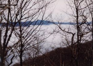
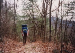
| Hike Summary: | The summit of Coosa Bald is roughly halfway on this loop hike, and at 4,271 feet it has spectacular winter views. Unfortunately, the forest has encroached on the once barren area and it is not possible to see from the summit year round. Other features on the hike include a wilderness statue of Jesus Christ near Calf Stomp Gap and some scenic streams and waterfalls closer to Vogel State Park. |


There are no comments yet.