Various trails at Dupont State Forest - Member Hike
| Hike Name: | Various trails at Dupont State Forest |
|---|---|
| Country: | United States |
| State: | North Carolina |
| Nearby Town: | Cedar Mountain |
| Rating: |  |
| Directions: | Hwy. 276 past Caesar’s Head State Park. A mile or two after crossing the NC state line, find Dupont State Forest on the right. |
| Total Hike Distance: | 6.00 miles |
| Hike Difficulty: | Moderate to Difficult |
| Permit Required: | No |
| Hike Type: | Roundtrip, Loop Hike |
| Hike Starts/Ends: | Fawn Lake access parking area |
| Trails Used: | Fawn Lake Loop, Airstrip Trail, Barn Trail, Bridal Veil Falls Road, Mine Mtn. Trail |
| Backcountry Campsites: | No |
| Backcountry Water Sources: | Streams, Rivers, Lakes |
| Management: | State Park Service |
| Contact Information: | www.dupontforest.com |
| Best Season: | Winter, Spring, Summer, Fall |
| Users: | Hikers, Bikers, Dogs, Horses |
| Road Conditions: | Secondary Paved Roads, Maintained Gravel or Dirt Roads |
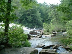
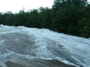
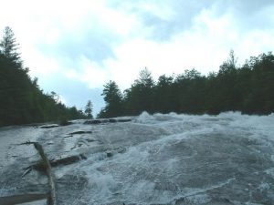
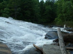
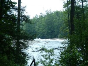
| Hike Summary: | After our rainy July Fourth hike we were happy to have a bright & sunny day for our hike at Dupont. We love the versatility of the trails at Dupont & have taken hikes here for over a year now. We enjoy planning our route to include spots we are interested in seeing again & again. There are innumerable possibilities for hikes. We've yet to tire of this beautiful State Park. We started out on Fawn Lake Loop & followed it to Airstrip Trail. There was a lot of haze so the normally grand view of the mountains from the airstrips end was almost totally obliterated. We also wondered why the sunflower field to the right of the strip wasn't replanted. We enjoyed it so much last year. We continued on Airstrip Trail to the terminus & then picked up Barn Trail & hiked it to Corn Mill Shoal’s Road. Since we knew tropical storm Cindy had upped the water levels, we decided to include a stop at Bridal Veil Falls. We weren't disappointed! The awesome power of all that water flowing down the massive rock was just amazing. We sat & enjoyed the spray from the fall & watched some young people taking chances that made us wince & hold our little ones tight. One young man slipped & fell on his rear trying to walk up the side of the falls. Once he was down, he gained speed quickly & we couldn't see from our vantage point if he would collide with the large boulders at the end or splash safely into the small pond at the base of the fall. Thankfully, no one was hurt. From the look of pure fright on the young mans face as he helplessly slid down, I think he learned a little respect for nature from his mishap! We continued on to Bridal Veil Falls Road & followed it to Conservation Road then picked up Airstrip Trail once more, crossed over the airstrip & into the forest again. As we hiked, we decided we had a little more energy left & decided we wanted to see what changes had been made to the Mine Mountain trail. As we hiked up we came across a couple of sections of the trail that had been cordoned off. As it had been a few months since we had hiked this trail, we couldn’t really remember a lot of the features of it. With the exception of that last little “hoof it” section just before the summit! Whew! This led to us wondering if the side trails were the new additions to this trail & if so, why they haven’t been opened to visitors. Once at the top, the hike along the ridgeline was uneventful but still fun. It’s much nicer to hike this trail in the Fall, Winter or early Spring as Fawn Lake is just below you & there are beautiful mountain vista views as well. The hike down the mountain was a push & we found ourselves telling Alex the story of the Miner 49’er from Scooby Doo to keep him going. We told him he must live in that shack (pump house) just at the foot of the mountain. It worked! From the end of Mine Mtn. Trail we picked up Fawn Lake Loop Trail & followed it to the Fawn Lake parking area. |



 Trail Map For This Area
There are no comments yet.