Lake Imaging - Member Hike
| Hike Name: | Lake Imaging |
|---|---|
| Country: | United States |
| State: | North Carolina |
| Nearby Town: | Cedar Mountain |
| Rating: |  |
| Directions: | Hwy. 276 past Caesar’s Head State Park. A mile or two after crossing the NC state line, find Dupont State Forest on the right. |
| Total Hike Distance: | 4.00 miles |
| Hike Difficulty: | Easy to Moderate |
| Permit Required: | No |
| Hike Type: | Roundtrip, Loop Hike |
| Hike Starts/Ends: | Lake Imaging parking area |
| Trails Used: | Lake Imaging, Buck Forest Rd., Covered Bridge Trail, Triple Falls Trail |
| Backcountry Campsites: | No |
| Backcountry Water Sources: | None |
| Management: | State Park Service |
| Contact Information: | www.dupontforest.com |
| Best Season: | Winter, Spring, Summer, Fall |
| Users: | Hikers, Bikers, Dogs, Horses |
| Road Conditions: | Maintained Gravel or Dirt Roads |
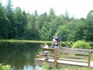
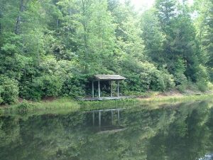
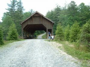
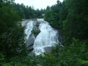
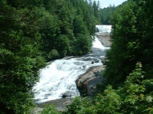
| Hike Summary: | Lake Imaging Trail is quite popular with the equines! There was a lot of poo and as we have the little ones with us, it takes a little diligence to keep them out of it. I'd have to say that was the only downer on this hike. It's never deterred us before & we really love seeing the beautiful horses we share the trails with. Holly Trail appears to be closed still although the web site does not list it as such anymore. We had to walk back along the road from our ending point at Hooker Falls parking area. Not fun but seeing the covered bridge, High Falls & Triple Falls more than made up for it. |


 Trail Map For This Area

There are no comments yet.