Colorado Trail - South Platte River - Member Hike
| Hike Name: | Colorado Trail - South Platte River |
|---|---|
| Country: | United States |
| State: | Colorado |
| Nearby Town: | Sedalia |
| Rating: |  |
| Directions: | From Sedalia Turn left onto CO-67 S/Manhart Ave Continue to follow CO-67 S 13.1 mi Slight right onto W Pine Creek Rd 3.1 mi Turn right onto N Platte River Rd 3.8 mi 2705 N Platte River Rd |
| Total Hike Distance: | 5.20 miles |
| Hike Difficulty: | Moderate to Difficult |
| Permit Required: | No |
| Hike Type: | In & Out, Backtrack Hike |
| Hike Starts/Ends: | South Platte River |
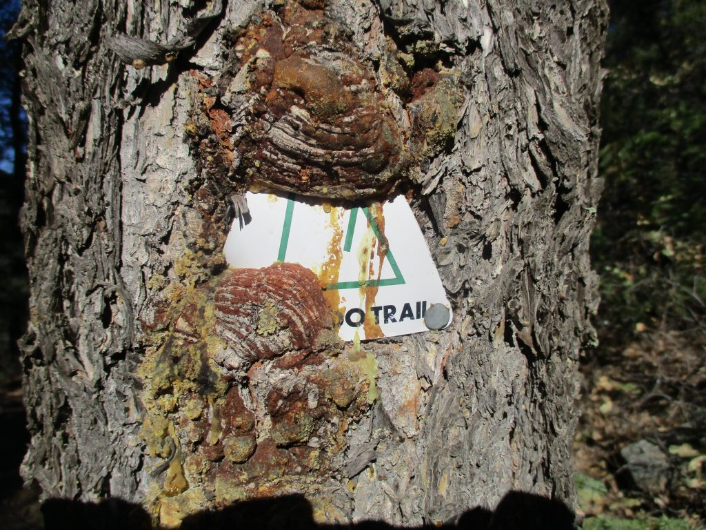
| Trails Used: | Colorado Trail |
| Backcountry Campsites: | Yes |
| Backcountry Water Sources: | None |
| Management: | Other |
| Contact Information: | The Colorado Trail Foundation 710 10th Street, #210 Golden, CO 80401-5843 (303) 384-3729 |
| Best Season: | Spring, Summer, Fall |
| Users: | Hikers, Bikers, Dogs |
| Road Conditions: | Primary Paved Roads, Secondary Paved Roads, Maintained Gravel or Dirt Roads |
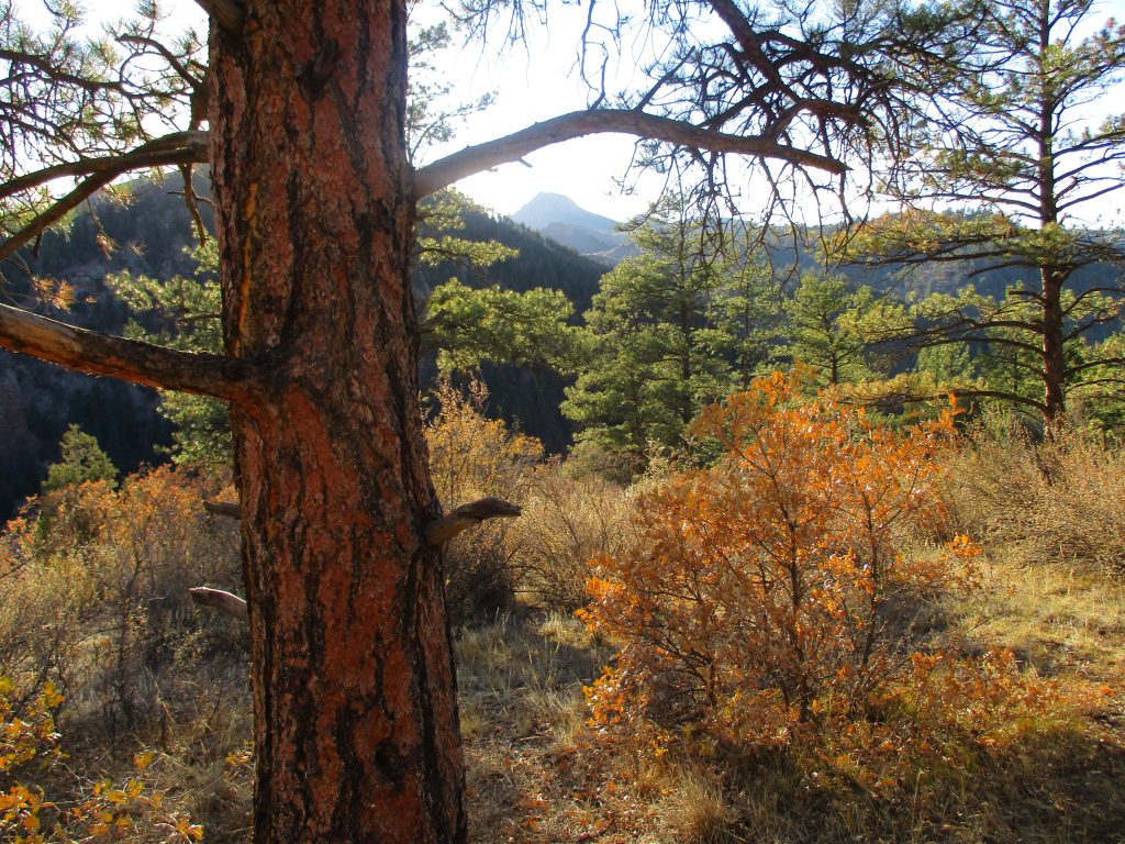
| Hike Summary: | The Colorado Trail is Colorado’s premier long distance trail. It runs nearly 500 miles from Denver to Durango, and travels through the Colorado Rocky Mountains - passing lakes, creeks and diverse ecosystems in the process. Trail users experience six wilderness areas and eight mountain ranges topping out at 13,271 feet on the hike. The route ascends and descends dramatically on the Colorado Trail with an average elevation of over 10,300 feet. Hikers that do the entire route will climb 89,354 feet between the end points in Denver and Durango. This is a short backtrack hike on a portion of the Colorado Trail that climbs 5.2 from the South Platte River (~6000') to a ridge line and rock outcrop (~7300'). There are excellent views from the ridge to the West and to the river and valley floor below. |


2 replies on “Colorado Trail - South Platte River - Member Hike”
Thanks Moondoggy. The Colorado Trail is on my list … but I have a very long list!
When are you doing the other 495 miles? Nice bald eagle photo BTW.