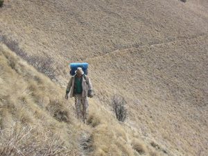
Oshow's Profile
| Name: | Oshow |
|---|---|
| Level / Points: |
 10,450 points |
| I am a: | Backpacker - I prefer backpacking over hiking |
| I go hiking: | Once per month |
| I usually go on hikes that are: | Very Difficult |
| Gender: | Male |
| Birthplace: | Suffolk, England |
| Country: | United States |
| State: | New Mexico |
| City: | Alamogordo |
| Postal Code/ZIP: | 88310 |
| Biography: | I'm a 5th generation New Mexican, a 1995 graduate of Sam Houston State University in Huntsville, TX, and a lifelong backpacker and hiker. During Winter months, I'm a ski instructor at Ski Cloudcroft in Cloudcroft New Mexico, and during warm weather, I own a guide service which takes backpacking and trout fishing tours to wilderness areas all over New Mexico. To make an actual living, I do a little contracting work for the government on the side. |
| My Best Hike: | Gila River Middle Fork - Gila Wilderness, Fall 2004 |
| Best Hike Description: | This is a 50 miler, but only about 15 miles are uphill. In addition, 90% of the trip is on mountain streams, including 25 miles of the best trout fishing in New Mexico, including the world's only Gila trout! Beautiful scenery, and several old mining camps to explore. |
| My Worst Hike: | MacGregor Range - Alamogordo, New Mexico, August 1997 |
| Worst Hike Description: | No map, no GPS, no food, just two good old boys trying to wing it. 16 hours later we arrived back at the car suffering from terrific cold, dehydration and hunger. I have never left without my GPS again. |
| A Memorable Trail Moment: | 1996 - I came rolling out of a brush choked ravine onto a small flat spot in the Sacramento Mountains west of Cloudcroft. As soon as I stepped out of the brush, I sat down against a tree to catch my breath. When I looked up I noticed a sizeable black bear sitting down munching on a berry bush 30 or 40 feet away. Before I could scream or wet my pants, he noticed me, and I could tell he couldn't decide whether to scream or wet his pants! After perhaps 10 seconds, we both hopped up and ran back the way we had come. I'm sure the bear still tells the story as well! |
| Dumbest Trail Move: | When I decided that I wouldn't need a sleeping bag in July in the mountains because it was so warm. Inevitably a cold front rolled in and I found myself trying to sleep in a 40 mph wind wrapped in a piece of rotting canvas I found in a mineshaft. Dumb, dumb, dumb! |
| Trails That I Want To Hike: | 2. Through-hike the Appalachian Trail 3. Death Valley - West to East 4. England/Scotland - North to South 5. Gobi Desert 6. Al-Can Highway - Canadian border to Anchorage 7. Khyber Pass - Pakistan to Afghanistan 8. Grand Trunk Road - Calcutta, India to Kabul, Afghanistan 9. Donner Pass- complete old rail bed. 10. Jornada del Muerte - El Paso to Albuquerque |
Oshow's Hikes
| Name | Country | State/Province/Region | Difficulty | Distance | Rating | |
|---|---|---|---|---|---|---|
|
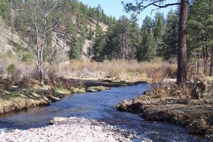
White Creek Flat | United States | New Mexico | Very Difficult | 46.00 miles |  |
|
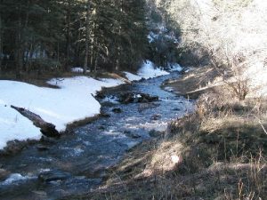
Turkey Creek - White Mountain Wilderness | United States | New Mexico | Moderate to Difficult | 7.00 miles |  |
|
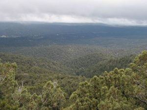
Tortolita Canyon | United States | New Mexico | Difficult | 13.00 miles |  |
|
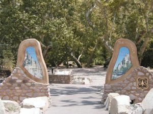
The Catwalk | United States | New Mexico | Easy to Moderate | 2.20 miles |  |
|
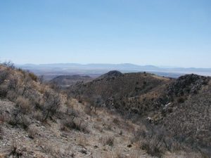
Mascot Canyon | United States | Arizona | Moderate to Difficult | 7.00 miles |  |
|
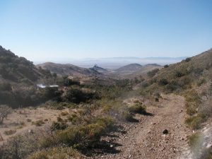
Apache Canyon | United States | Arizona | Difficult | 10.00 miles |  |

|
Big Bear Canyon - White Mountain Wilderness | United States | New Mexico | Moderate to Difficult | 15.00 miles |  |
|
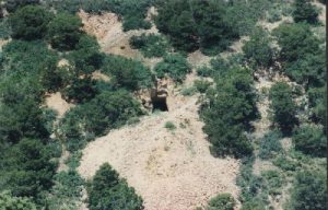
Ancho Peak - Lincoln National Forest | United States | New Mexico | Moderate to Difficult | 15.00 miles |  |
|
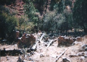
Oliver Lee State Park | United States | New Mexico | Moderate | 13.60 miles |  |
|
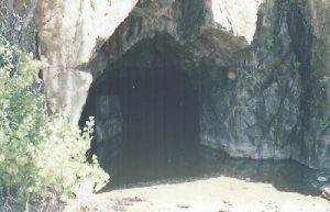
Kelly - Cibola National Forest | United States | New Mexico | Moderate to Difficult | 16.00 miles |  |
Oshow's Trip Reports
| Name | Date | Country | State/Province/Region | Rating | Duration | |
|---|---|---|---|---|---|---|

|
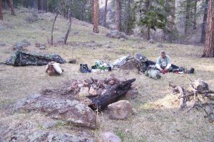
Tortolita Canyon | July 23, 2006 | United States | New Mexico |  |
2 days, 12 hours |
|
White Creek Flat | March 28, 2008 | United States | New Mexico |  |
3 days, 8 hours |

|
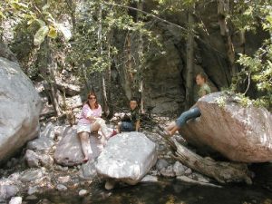
Turkey Creek - White Mountain Wilderness | March 17, 2007 | United States | New Mexico |  |
2 days |
|
The Catwalk | June 25, 2006 | United States | New Mexico |  |
1 hour, 50 minutes |
|
Apache Canyon | October 14, 2005 | United States | Arizona |  |
17 hours |
|
Guadalupe National Park - McKittrick Canyon | October 3, 2000 | United States | Texas |  |
2 days, 8 hours |

|
Oliver Lee State Park | June 18, 2005 | United States | New Mexico |  |
2 hours, 30 minutes |
|
Argentina Canyon - White Mountain Wilderness | June 12, 1997 | United States | New Mexico |  |
18 hours |

|
Gila River - West Fork - Gila Wilderness | September 21, 2000 | United States | New Mexico |  |
2 days, 8 hours |

|
Nogal - White Mountain Wilderness | May 13, 1995 | United States | New Mexico |  |
2 days, 12 hours |

