Devil's Lake SP - Balanced Rock - Member Hike
| Hike Name: | Devil's Lake SP - Balanced Rock |
|---|---|
| Country: | United States |
| State: | Wisconsin |
| Nearby Town: | Baraboo |
| Rating: |  |
| Directions: | From the south or east on I-90/94, take State Highway 33 west about 15 miles to Baraboo. Turn left (south) on State Highway 123 and go 3 miles to the park. From the northwest on I-90/94, go right (south) at exit 92. Take US Highway 12-East about 10 miles to State Highway 159. Turn left (east) on Highway 159 and go about 2 miles to the park. From the south on US 12, turn right (east) on Highway 159 and go about 2 miles to the park. FOLLOW SOUTH SHORE |
| Total Hike Distance: | 0.80 miles |
| Hike Difficulty: | Moderate to Difficult |
| Permit Required: | No |
| Hike Type: | In & Out, Backtrack Hike |
| Hike Starts/Ends: | south shore |
| Trails Used: | Balanced Rock Trail |
| Backcountry Campsites: | No |
| Backcountry Water Sources: | None |
| Management: | State Forest Service |
| Contact Information: | Devil’s Lake State Park S5975 Park Rd. Baraboo WI 53913-9299 (608) 356-8301 (608) 356-4281 Fax http://www.dnr.state.wi.us/Org/ land/parks/specific/devilslake/ |
| Best Season: | Spring, Summer, Fall |
| Users: | Hikers |
| Road Conditions: | Primary Paved Roads, Secondary Paved Roads |
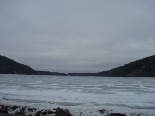
| Hike Summary: | From the parking lot, the trailhead is on your right. Cross the railroad track. Be sure to brush your shoes on the info board to prevent invasive plants' seeds from spreading and crowding out trees/wildflowers. Then head to the rocky trail which may not be easily discernible. This requires a short rock-scrambling. We saw hawks hovering in and out of the rocks up above us. Extreme care needed as the rock as the rocks were slippery esp. with the snow, and it was getting steep the higher we went. The balanced rock is among the 500-foot bluffs towering above the lake. |


There are no comments yet.