Leon Sinks Geological Area - Member Hike
| Hike Name: | Leon Sinks Geological Area |
|---|---|
| Country: | United States |
| State: | Florida |
| Nearby Town: | Tallahasse, FL, Crawfordville, FL |
| Rating: |  |
| Directions: | From Tallahassee (downtown): Head south on Monroe Street. Turn right on Gaile Ave (First traffic light just past Leon County Fair Grounds). Turn left on Crawfordville Highway (Route 61). Continue south on Crawfordville Highway, which turns into US 319. Leon Sinks will be on your right off of Crawfordville Highway (US 319) approximately 5.5 miles from Capital Circle SE (the truck route). From Crawfordville: Head North on Crawfordville Highway (US 319). Leon Sinks will be on your left just as you enter Leon County. |
| Total Hike Distance: | 5.40 miles |
| Hike Difficulty: | Easy |
| Permit Required: | Yes |
| Hike Type: | Roundtrip, Loop Hike |
| Hike Starts/Ends: | Parking Lot |
| Trails Used: | Sinkhole trail- 3.1 Miles marked by a blue blaze Gumswamp trail- 2.3 Miles marked by a green blaze |
| Backcountry Campsites: | No |
| Backcountry Water Sources: | None |
| Management: | State Park Service |
| Contact Information: | Wakulla Ranger District USDA Forest Service 57 Taff Drive Crawfordville, Fl 32327-2138 850-926-3561 |
| Best Season: | Winter, Spring, Fall |
| Users: | Hikers |
| Road Conditions: | Primary Paved Roads |
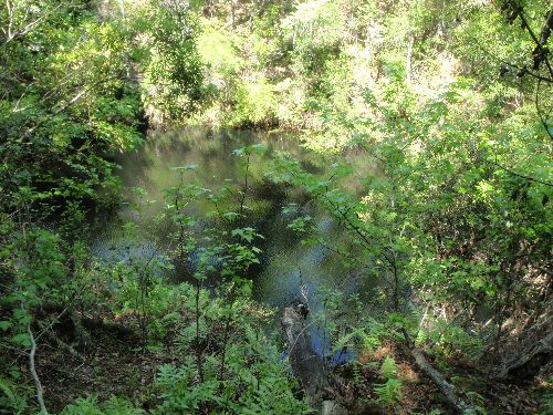
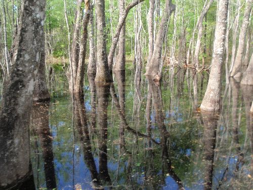
| Hike Summary: | Easy hike through Florida's famous karst topography. The trail is pock marked with wet and dry sink holes, as well as a natural bridge and a disappearing stream along the Sinkhole Trail. The Gumswamp Trail meanders through the Black Gum Swamp that can be dry during periods of little rain. Great area for a quick 2-3hr day hike. |


There are no comments yet.