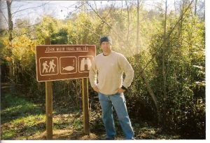
John Muir Trail (Childer's Creek Parking to Farner, Tn) - Member Hike
| Hike Name: | John Muir Trail (Childer's Creek Parking to Farner, Tn) |
|---|---|
| Country: | United States |
| State: | Tennessee |
| Nearby Town: | Reliance, Tn |
| Rating: |  |
| Directions: | Beginning at the Ocoee/Hiwassee Ranger Station in Benton, Tennessee, drive east on Highway 64 for two miles. Go west on State Highway 30 for approximately 10 miles until you arrive in Reliance, Tennessee. Turn left on Highway 315. After you cross the bridge, turn right on Childers Creek Road and travel one mile until you reach the Childers Creek parking lot on your |
| Total Hike Distance: | 21.00 miles |
| Hike Difficulty: | No Answer |
| Permit Required: | No |
| Hike Type: | One-Way, Shuttle Hike |
| Hike Starts: | Childer's Creek Parking Lot |
| Hike Ends: | Hwy 37 close to Farner, Tn |
| Trails Used: | JMT (Tn) |
| Backcountry Campsites: | Yes |
| Backcountry Water Sources: | Streams, Rivers, Springs, Snow |
| Management: | State Forest Service |
| Contact Information: | USDA Forest Service Ocoee/Hiwassee Ranger District Rt. 1 Box 348-D Benton, TN 37307 (423) 338-5201 Cherokee National Forest 2800 N. Ocoee St. Cleveland, TN 37320-2010 (423) 476-9700 |
| Best Season: | Winter, Spring, Summer, Fall |
| Users: | Hikers, Dogs |
| Road Conditions: | Secondary Paved Roads, Maintained Gravel or Dirt Roads |
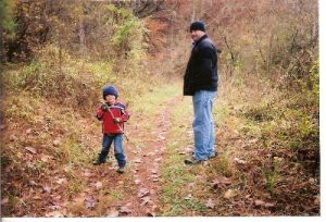
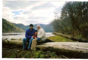
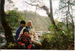
| Hike Summary: | I've completed sections of this hike since I first started running through the hills as a kid. It was great to get back to this trail. Named for naturalist and Sierra Club founder, John Muir. This trail represents the route he took from Florida to Kentucky. The first 9 miles are easy going along the Hiwassee River, saw a few hiking families and pets on the trail to the Big Bend parking lot. After that, not a single person. Water is plentiful but be sure to boil or filter it as there's a nasty fungus in the river according to the signs. I had plenty of water with one lexan bottle and a 3 qt camel back. The trail is marked by White Diamonds or fat white exclamation point looking symbols. Some areas are slippery with a lot of moss. Also took the chance and did some basic climbing on many of the rock formations along the trail and saw a couple good boulders to try next time. The first 9 miles are good family hikes, the rest is sometimes moderate but mostly easy. Very quiet in the forest today. Have someone pick you up at the end of the trail. Trail conditions good, leaf coverage but some very slippery parts. |


There are no comments yet.