Red Rock Canyon National Conservation Area - Ice Box Canyon - Member Hike
| Hike Name: | Red Rock Canyon National Conservation Area - Ice Box Canyon |
|---|---|
| Country: | United States |
| State: | Nevada |
| Nearby Town: | Las Vegas |
| Rating: |  |
| Directions: | W. Charleston Blvd is the most direct route to Red Rock Canyon NCA from the “Strip,” however there are a series of signals and traffic can be slow. You should allow 25 minutes drive time from the “Strip.” |
| Total Hike Distance: | 2.60 miles |
| Hike Difficulty: | Moderate to Difficult |
| Permit Required: | No |
| Hike Type: | In & Out, Backtrack Hike |
| Hike Starts/Ends: | Ice Box Canyon Trailhead |
| Trails Used: | Ice Box Canyon Trail |
| Backcountry Campsites: | No |
| Backcountry Water Sources: | Streams, Rivers |
| Management: | Bureau of Land Management |
| Contact Information: | Red Rock Canyon National Conservation Area HCR 33, Box 5500 Las Vegas, NV 89124 (702) 515-5350 (702) 363-6779 (fax) |
| Best Season: | Spring, Fall |
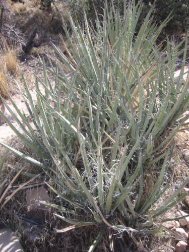
| Users: | Hikers, Dogs |
| Road Conditions: | Primary Paved Roads, Secondary Paved Roads |
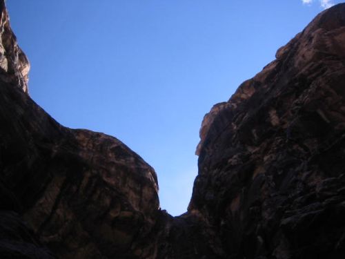
| Hike Summary: | From the parking lot, the trail heads down across the wash and up the other side toward the canyon. The trail is well defined as it leads you up the side of the canyon for approximately 1/4 of a mile. It then drops into the bottom of the canyon. From this point the trail becomes a route over or around boulders as it continues upstream. The official trail ends at the large ponderosa pine tree in the bottom of the canyon (2. 5 miles round trip). To reach the upper pool filled by a seasonal waterfall, be prepared for some tricky wall scrambling, and a 3 mile round trip. Return to the parking lot the same way. |


Recommended


Trip Reports
| Date | Rating | Duration | Hiker | |
|---|---|---|---|---|

|
March 29, 2008 |  |
2 hours, 30 minutes | Shooternick |

|
March 28, 2007 | |
3 hours | BirdShooter |
There are no comments yet.