Bartram Trail - Member Hike
| Hike Name: | Bartram Trail |
|---|---|
| Country: | United States |
| State: | Georgia |
| Nearby Town: | clayton |
| Rating: |  |
| Directions: | Take Hwy. 28 to the Russell Bridge over the Chattooga. Trailhead is at the parking lot. To get to other end, take Hwy. 28 to Warwoman Road, then turn on Hale Ridge Road. |
| Total Hike Distance: | 36.50 miles |
| Hike Difficulty: | Very Difficult |
| Permit Required: | No |
| Hike Type: | One-Way, Shuttle Hike |
| Hike Starts: | 7/10/2011 |
| Hike Ends: | 07/12/2011 |
| Trails Used: | Bartram |
| Backcountry Campsites: | Yes |
| Backcountry Water Sources: | Streams |
| Management: | State Forest Service |
| Contact Information: | http://schikingtrails.blogspot.com/2011/07/bartram-trail-death-march.html |
| Best Season: | Winter, Spring, Fall |
| Users: | Hikers |
| Road Conditions: | Primary Paved Roads, Maintained Gravel or Dirt Roads, Unmaintained Gravel or Dirt Roads, Private Roads |
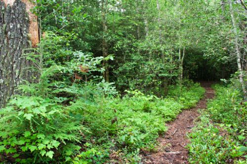
| Hike Summary: | A 36 mile journey through the North Georgia mountains. The trail begins on the Chattooga river and then climbs through Warwoman Dell and over Rabun Bald, the second highest point in Georgia. It finishes at the NC/GA border where you have the option of hiking 79 more miles in NC. |


There are no comments yet.